
The Pilbara is a large and populated region in the north of Western Australia. Pilbara starts at the area just north of Onslow and continues north to the area around Port Hedland. The Pilbara is home to some fantastic rocky landscape and land rich in natural resources such as iron, natural gas and salt. The first European to explore the area was Francis Gregory in 1861 but mining did not start until 1942 in Wittenoom Gorge.
The main centre for the Pilbara is Karratha, which means 'Good Country'. That is exactly what the land surrounding Karratha is, offering many natural resources including Iron, Natural Gas and Salt. It is from these resources which Karratha has named its annual festival, Fe-NaCI-NG Festival (the chemical abbreviations). Around Karratha are a number of Aboriginal sites with cave paintings and carvings, many of which can be seen along the interesting Jaburara Heritage Trail.
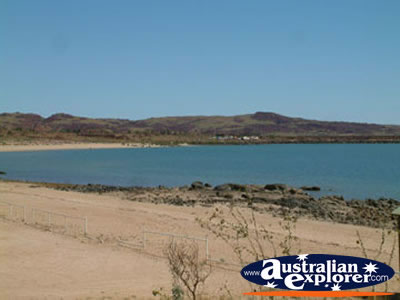 North along the Burrup Peninsula is Dampier, which is situated on King Bay. Dampier is a small port used for both Paraburdoo and Tom Price, as well as being a Hamersley Iron town. There are a number of tours of the various industry centres around Dampier which are all very interesting. You should also visit the numerous Aboriginal sites and rock engravings around the Burrup Peninsula.
North along the coast you will come to Roebourne which is an old gold and copper mining town. There are some interesting buildings around the town, which are worth visiting. Heading north towards Point Samson you can turn off to Cossack and Wickham. Wickham is another iron town, for the Robe River Iron Company. Cossack was a major port in the area, although it was later taken over by Point Samson, which has now itself been taken over by Cape Lambert and Dampier. Cossack is situated along the Harding River, and hosts some fabulous buildings. The fantastic Cossack Historic Walk takes you past many of these buildings and is well worth following. There are some lovely beaches in this area and at Point Samson.
 Heading north east along the coastal highway towards there is a turn off to the Millstream-Chichester National Park. Further along is Whim Creek, and old copper mining town which has since disappeared leaving the Whim Creek Hotel. Continuing north east towards Port Hedland, you can turn south east onto the Great Northern Highway, leading down to Tom Price, Paraburdoo and the Karijini National Park.
Tom Price and Paraburdoo are tow of Pilbara's 'Company Towns', situated near the attractive landscape of the Karijini National Park. You can get great views of the area from Mt Nameless, which is a pleasant 3 hour return walk from Tom Price. Further south along the Great Northern Highway is Newman a BHP town. From Newman you can visit the hilly and mountainous Collier Range National Park. North east of Newman is the Karlamilyi National.
 Just past Port Hedland is another turning, south east towards Marble Bar which claims to be the hottest place in Australia (reaching a soaring 49.1 degrees). There is an interesting museum at the working Comet Gold Mine, and some interesting Government buildings around the town. Wildflowers are also common in Marble Bar, which makes the town extremely beautiful. Continuing along the coastal highway to Broome in The Kimberley there are several small towns where you can stop, may offering accommodation. Bird spotting is great at nearby De Grey River, whilst fishing is good at Cape Keraudren. Both places also have accommodation, along with Eighty Mile Beach and Port Smith further north again.
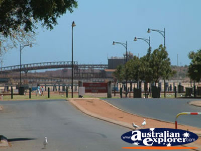
Pilbara, WA Accommodation
Destinations within Pilbara
| Other Pilbara Destinations | ||
| Barrow Island | Cossack | Dampier |
| Dampier Peninsula | Karratha | Marble Bar |
| Newman | Nullagine | Point Samson |
| Port Hedland | Roebourne | Whim Creek |
| Wickham | ||
| SHARE with |
