
Kimberley is in the far north of Western Australia and offers spectacular scenery and a diverse and almost tropical heat. The best time to travel to the Kimberley is from April to September when the weather isn't at its hottest, and before the storms have started.
The remote Kimberley region of north Western Australia was one of the earliest settled parts of Australia, with the first arrivals landing about 40,000 years ago from the islands of what is now Indonesia.
The area was first explored by Alexander Forrest in 1879. Forrest was the first European man to discover and name the Kimberley district, the Margaret and Ord Rivers, the King Leopold Ranges, and the fertile area between the Fitzroy and Ord Rivers.
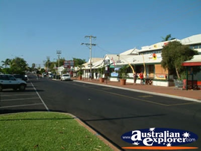 To the south of the Kimberley is Broome, situated on the south western side of the Dampier Peninsula. Heading east from Broome you will get to Derby which is a main centre in the Kimberley surrounded by mud flats. From Derby there are two routes which you can take, both leading to the Northern Territory border. The direct route is along the Gibb River Road, which is a dirt track best suited to 4WD. The longer, but easier route is along the Great Northern Highway via Fitzroy Crossing and Halls Creek.
 Heading east to Fitzroy Crossing, there is a small turn off towards the Devonian Reef National Parks, which were part of the Western Australia Reef about 350 million years ago. East again is Halls Creek and south from here is the Wolfe Creek Meteorite Crater which is one of the largest in the World. It is a vast 835 metres wide and 50 metres deep. The Jaru Aborigines call the Wolfe Creek Meteorite Crater 'Kandimalal' and believe it was caused by the emergence of a huge snake from the ground. Further east of Halls Creek is the Purnululu National Park, better known as the Bungle Bungle National Park.
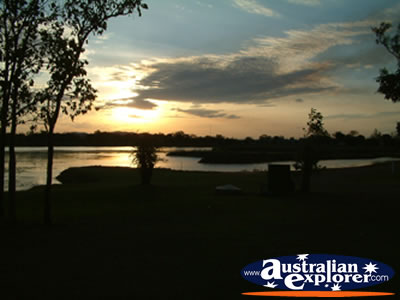 Continuing north along the Great Northern Highway, you can either continue north to Wyndham or head east to Kununurra. Just south of Kununurra is Lake Argle which is a huge reservoir, able to provide regular water. You can appreciate its vast size on one of the cruises out onto the lake. You should also visit the nearby Argyle Diamond Mine which is where about 35% of the World's Diamonds come from.
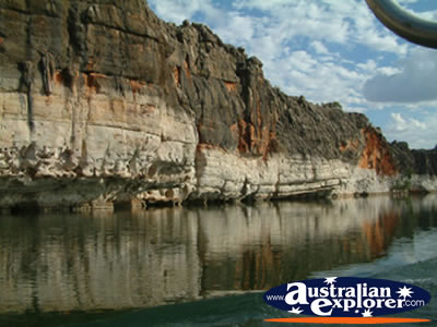
 From Derby, if you decide to be daring the alternative route certainly holds a lot to offer. It is also possible to join a tour along the Gibb River Road if you don't want to go it alone. Heading east along the Gibb River Road, you can turn off to visit the Devonian Reef National Parks on the small road leading to Fitzroy Crossing. Continuing on you will cross the Lennard River Bridge and then continue through the spectacular King Leopard Range. Once you get about 185km from Derby you can turn off to the Mt Hart Homestead which offers comfortable bed and breakfast. Just past here along the Gibb River Road there are two further turn offs to the Lennard River Gorge and the Bell Gorge, both featuring beautiful waterfalls.
A further 60 km along the track and there is more accommodation at the Old Mornington Cattle Station, and just past here the Beverley Springs Homestead again offering accommodation. Further along the road are the Adcock Gorge and Galavans Gorge which both offer swimming spots, before you reach the Mt Barnett Roadhouse. From here you can head into the Manning Gorge, which offers a pleasant camping area as well as a strenuous but rewarding walk. Another swimming spot is a further 20km along the road, at the Barnett River Gorge, with a turn off to the Mt Elizabeth Station just past here.
Continuing east the road divides, with the Gibb River Road continuing east, and the Kalumburu Road heading north to the Mitchell Plateau. If you want to head along here you must get a permit from the Kalumburu community Ph: 9161 4300. If you head along the Kalumburu Road, the first fuel place you will pass is the Drysdale River Station, offering fuel and accommodation at nearby Drysdale River Homestead, and the Miners Pool. The turn off for the Mitchell Plateau is a further 100km along the road, and the highlight of this area are the remarkable Mitchell Falls. Continuing along the Kalumburu Road will take to Kalumburu, passing Theda Station and the Kalumburu Aboriginal Community, where you can find accommodation.
East of Kalumburu is the Drysdale River National Park, which is the most northern National Park in the whole of Australia. There are small sections of rainforest and the fabulous King George Falls. The main highlight of the Drysdale National Park is the Aboriginal art within the park, in particular the Bradshaw Art Figures and the Wandjina Art Figures.
Continuing east from the Kalumburu junction, a further 70km is the Ellenbrae Station which offers accommodation. A further 30km is Jack's Waterhole which has fuel and homestead accommodation. Near the Home Valley Station are fantastic views of the Cambridge Gulf and the Cockburn Ranges. A little further on is the tricky Pentecost River crossing. The final station you come across before joining the surfaced Great northern Highway is the El Questro Station and Wilderness Park Ph: 9169 1777. It offers a number of fabulous gorges with several great walking trails, including Emma Gorge, Chamberlin Gorge and El Questro Gorge, as well as Zebedee Springs, boat rides and of course accommodation.
Kimberley, WA Accommodation
Destinations within Kimberley
| Purnululu National Park | ||
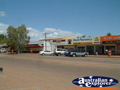
| Halls Creek | ||
| Other Kimberley Destinations | ||
| Broome | Derby | Eighty Mile Beach |
| Fitzroy Crossing | Kununurra | Warmun |
| Wyndham | ||
| SHARE with |
